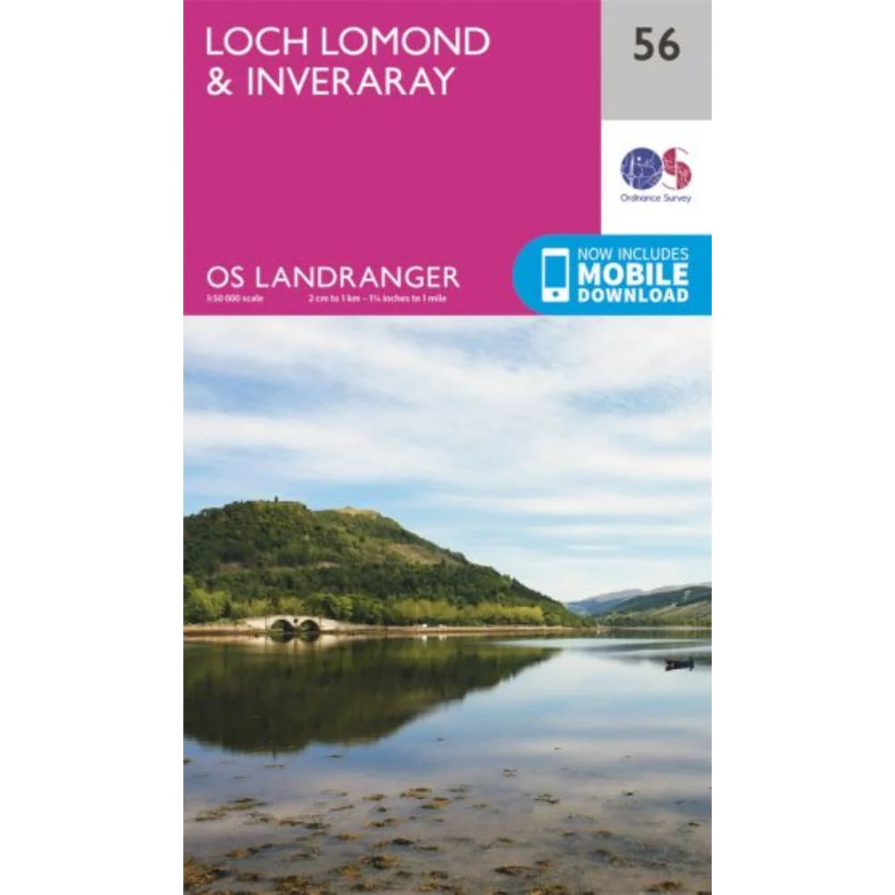
Ordnance Survey Landranger Map 56 - Loch Lomond & Inveraray
The Ordnance Survey Landranger Map 56 - Loch Lomond & Inveraray is the perfect companion when planning a trip to the area. Landranger maps are perfect for extensive hikes, cycling, and driving holidays.
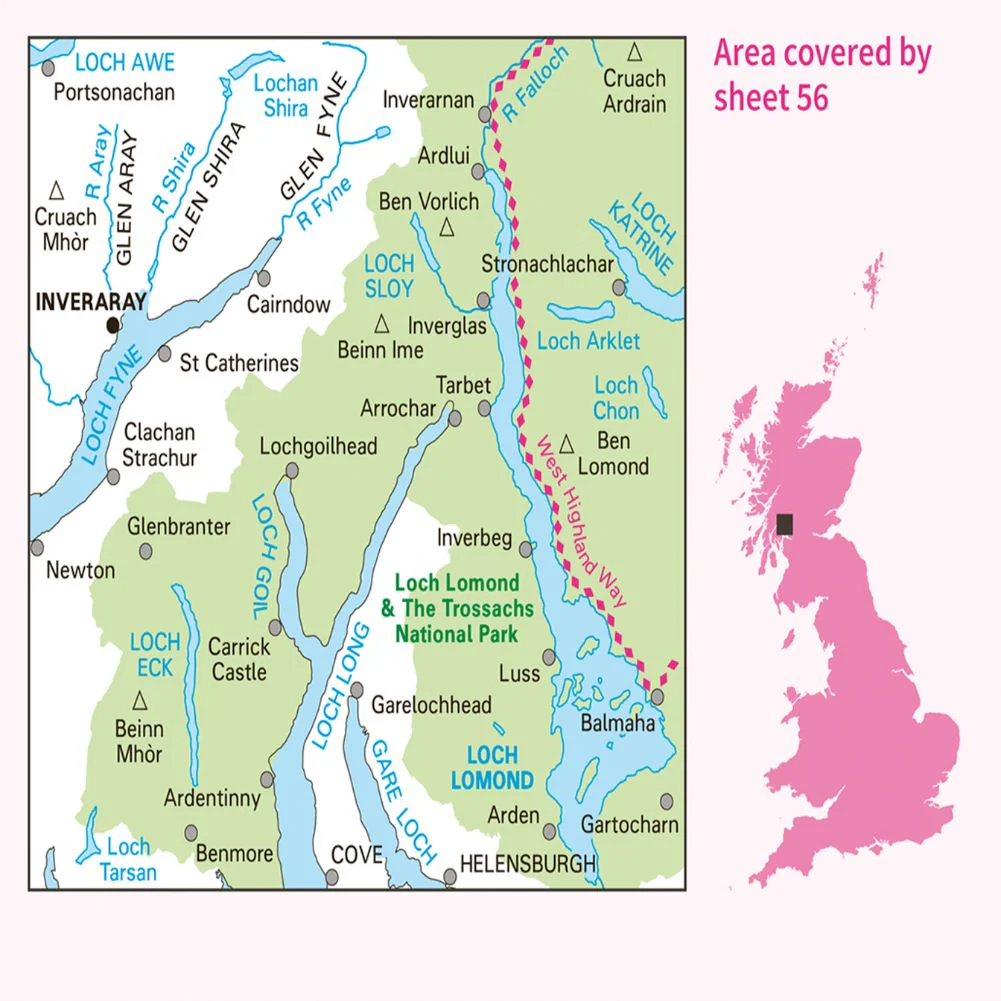
It is ideal for planning days out or holidays to the area nicknamed the 'gateway to the Highlands'. Inverary has a wide range of attractions on offer, from Inverary Castle and Gardens to walking in the nearby Glen Shira and Aray.
Other highlights of this map include the West Highland Way, which passes along the banks of Loch Lomond in the Trossachs National Park. (The Loch itself is the largest body of fresh water in mainland Britain.)
The Landranger maps come in standard or Weatherproof Active, and you'll also receive a free download for your devices, making them convenient companions.
Ordnance Survey Landranger Map 56 Features:
- Free digital download - Receive a free download when you purchase this map.
- Landranger 1:50 000 scale - Every 2cm is 1km, which means less detail but more area covered while still including key elements such as footpaths, rights of way, and tourist information.
- Be ready for anything - Whether it’s a long hike, a cycling tour, or a driving holiday – our Landranger maps are the perfect companion.
- Topographic mapping - Highly detailed contour mapping highlighting variations in terrain and everything you would expect from a map
- Weatherproof options - The Landranger maps come in both standard and weatherproof, so you don’t have to worry about getting caught out in a storm
More Images
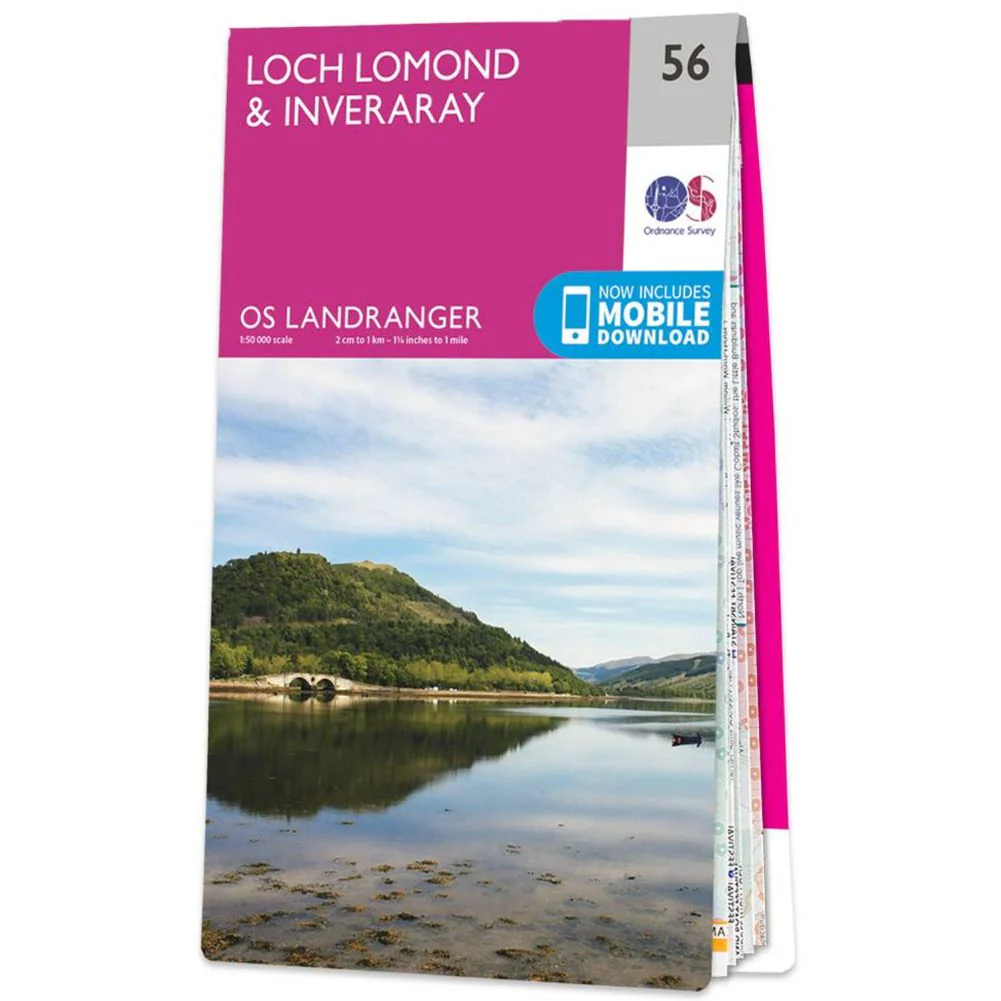
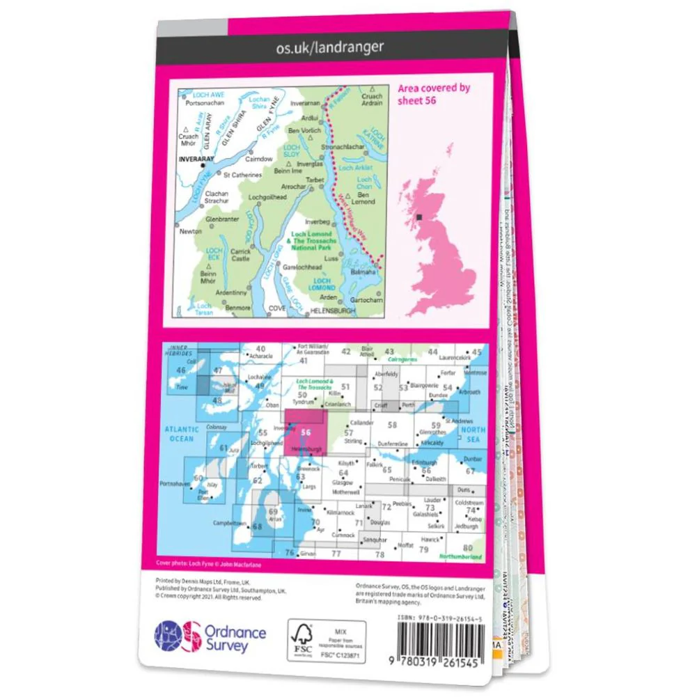
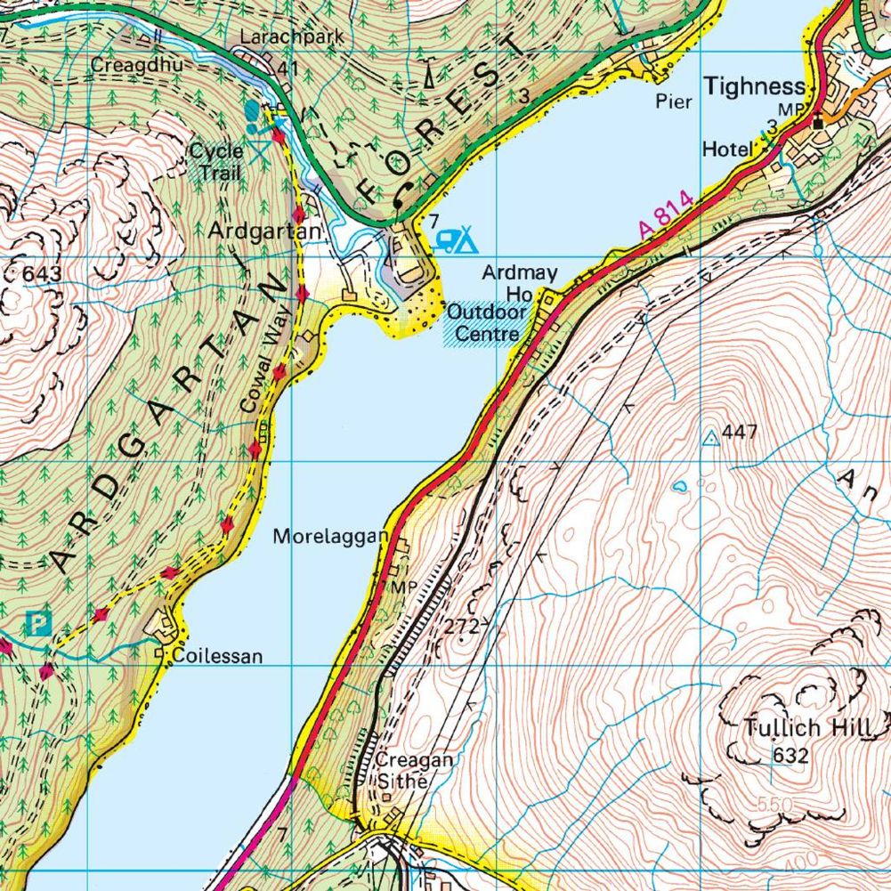
Ordnance Survey Landranger Map 56 - Loch Lomond & Inveraray
The Ordnance Survey Landranger Map 56 - Loch Lomond & Inveraray is the perfect companion when planning a trip to the area. Landranger maps are perfect for extensive hikes, cycling, and driving holidays.
It is ideal for planning days out or holidays to the area nicknamed the 'gateway to the Highlands'. Inverary has a wide range of attractions on offer, from Inverary Castle and Gardens to walking in the nearby Glen Shira and Aray.
Other highlights of this map include the West Highland Way, which passes along the banks of Loch Lomond in the Trossachs National Park. (The Loch itself is the largest body of fresh water in mainland Britain.)
The Landranger maps come in standard or Weatherproof Active, and you'll also receive a free download for your devices, making them convenient companions.
Ordnance Survey Landranger Map 56 Features:
- Free digital download - Receive a free download when you purchase this map.
- Landranger 1:50 000 scale - Every 2cm is 1km, which means less detail but more area covered while still including key elements such as footpaths, rights of way, and tourist information.
- Be ready for anything - Whether it’s a long hike, a cycling tour, or a driving holiday – our Landranger maps are the perfect companion.
- Topographic mapping - Highly detailed contour mapping highlighting variations in terrain and everything you would expect from a map
- Weatherproof options - The Landranger maps come in both standard and weatherproof, so you don’t have to worry about getting caught out in a storm
Product Information
Product Information
Shipping & Returns
Shipping & Returns
Description
The Ordnance Survey Landranger Map 56 - Loch Lomond & Inveraray is the perfect companion when planning a trip to the area. Landranger maps are perfect for extensive hikes, cycling, and driving holidays.
It is ideal for planning days out or holidays to the area nicknamed the 'gateway to the Highlands'. Inverary has a wide range of attractions on offer, from Inverary Castle and Gardens to walking in the nearby Glen Shira and Aray.
Other highlights of this map include the West Highland Way, which passes along the banks of Loch Lomond in the Trossachs National Park. (The Loch itself is the largest body of fresh water in mainland Britain.)
The Landranger maps come in standard or Weatherproof Active, and you'll also receive a free download for your devices, making them convenient companions.
Ordnance Survey Landranger Map 56 Features:
- Free digital download - Receive a free download when you purchase this map.
- Landranger 1:50 000 scale - Every 2cm is 1km, which means less detail but more area covered while still including key elements such as footpaths, rights of way, and tourist information.
- Be ready for anything - Whether it’s a long hike, a cycling tour, or a driving holiday – our Landranger maps are the perfect companion.
- Topographic mapping - Highly detailed contour mapping highlighting variations in terrain and everything you would expect from a map
- Weatherproof options - The Landranger maps come in both standard and weatherproof, so you don’t have to worry about getting caught out in a storm